

 View Map

NEP Post-pipelay Trenching and Burial Activities
Mariners are advised that the Northern Endurance Partnership (NEP) will be undertaking post-pipelay trenching and burial installation activities in support of the NEP offshore pipeline construction programme.
The works will continue to be undertaken by the Normand Frontier and are anticipated to continue intermittently until approximately 31st January 2027, subject to weather, operational requirements and programme changes.
The works will involve use of trenching tool which will be attached to the pipeline. The trenching tool will be deployed and controlled by a crane and umbilical control unit on the starboard side of the vessel. These operations will take place in areas where sufficient burial of the pipeline can be achieved within the NEP Pipeline Construction Area and Temporary Debris Clearance Area as shown.
Mariners are requested to maintain a safe distance of at least 500 m from the Normand Frontier at all times and to navigate with caution when operating in the vicinity of the works.
Two guard vessels, the Devotion and the Liberty will also be present within the project area. The Devotion will be transiting along the pipeline while the Liberty will be present in Block 5
For further information, contact details for the Fishing Industry Representative and Company Fisheries Liaison Officer are provided in Section 7.
See detailed map on our bulletin website
Gannet F location - Pre-lay Anchors
Two sets of anchors will be set at Gannet F location around two well sites. 16 anchors in close proximity.
Show More

Southwark Platform Power Outage
Due to Low Diesel Levels Power has been turned off at the Southwark Platform - 10/11/26
Platform Nav Aids (Lights & Horns) will continue to function on UPS for several days.
The Guard Vessel Atlas will be on Station until power is restored. ETA 12:00 10/11
Intervention expected around the 15th November
See detailed map on our bulletin website
ROVSV Wellhead Inspection (EDT Jane)
Wellhead inspection using work class ROV from EDT Jane
Show More
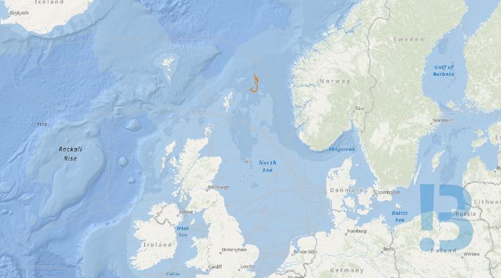
ROVSV Pipeline Inspection (EDT Jane)
Pipeline inspection using work class ROV from EDT Jane
Show More

SID2 Decommissioning Project (Merganser)
Subsea decommissioning activities will take place across the Scoter, Merganser, Heron, Atlantic & Cromarty and Kingfisher field locations. This will include the removal of infrastructure, and associated remediation and make-safe activities. Vessel - BOCA NORTHERN OCEAN
Show More
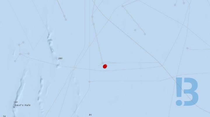
Curlew D Field - Exclusion Zone
Following completion of the Curlew WHS Campaign, post-decommissioning, a seabed inspection survey and trawl verification sweep identified a known natural seabed obstruction, which is highlighted in the coordinates below, measuring app. 4.0 m x 2.2 m x 0.5 m. In addition, 75m exclusion zones were maintained around each retained drill cuttings pile to prevent disturbance by trawl gear. These zones should continue to be avoided by fishing vessels and other seabed users operating in the area.
Show More

SID2 Decommissioning Project (Scoter)
Subsea decommissioning activities will take place across the Scoter, Merganser, Heron, Atlantic & Cromarty and Kingfisher field locations. This will include the removal of infrastructure, and associated remediation and make-safe activities. Vessel - BOCA NORTHERN OCEAN
Show More

SID2 Decommissioning Project (Atlantic & Cromarty and Heron)
Subsea decommissioning activities will take place across the Scoter, Merganser, Heron, Atlantic & Cromarty and Kingfisher field locations. This will include the removal of infrastructure, and associated remediation and make-safe activities. Vessel - BOCA NORTHERN OCEAN
Show More

Balder Transit from Hamilton North to Hamilton Main
Mariners are advised that heavy lift and support operations using the HLV Balder at Hamilton North are scheduled for completion on the 8th November 2026. The vessel is estimated to depart Hamilton North and transit to Hamilton Main Gas Field ~ 9th November. The Balder is estimated to complete all work and leave the field for demobilisation ~ 17th November 2026. The vessel will have restricted manoeuvrability in all axes of movement and always display the relevant night and day signals.
Show More

Seafox 7 Transit Hamilton North Standby to Hamilton North
Mariners are advised that the Jack Up Support vessel Seafox 7 is scheduled to transit from standby to ENI UK Hamilton North Platform on Saturday 11th November 2026 (weather dependant) The vessels will have restricted manoeuvrability in all axes of movement and always display the relevant night and day signals.
Tug arrival at Douglas CCS Platform is estimated for ~ 06:00 on the 17th October. The tow will exit Douglas CCS Platform crossing Westbound Liverpool Bay TSS (see figure 1 below) before transiting within the LBCCS Cable Construction Area Block J (see Figure 2 and Table 1 below)
The vessels will have restricted manoeuvrability in all axes of movement and always display the relevant night and day signals.
See detailed map on our bulletin website
NEP Dropped Object Notification – Remaining Fishing Gear Debris
Mariners are advised that, following debris clearance operations undertaken by the vessel Deep Cygnus as part of the Northern Endurance Partnership (NEP) works at Legacy Well 44/21-1, a quantity of fishing gear debris remains on the seabed.
The remaining debris comprises sections of fishing netting interspersed with weighted chain and associated steel trawl boom sections. Although much of the debris was successfully recovered, the remaining material could not be fully retrieved and was relocated approximately 230 m from the wellhead onto the open seabed.
The remaining material has been reported as a dropped object under PON2 notification reference IRS/2026/8372/PON2.
The debris remains on the seabed and presents a potential snagging hazard to fishing vessels operating bottom-contact fishing gear.
Further updates regarding the status of the remaining fishing gear debris will be communicated through subsequent Notices to Mariners as additional information becomes available
For further information, contact details for the Fishing Industry Representative and the Company Fisheries Liaison Officer are provided in Section 7.
See detailed map on our bulletin website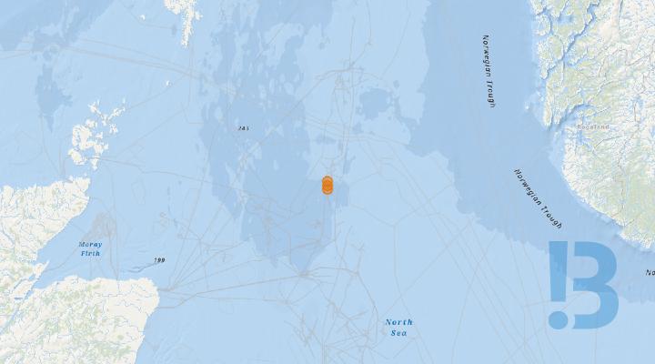
Trees Field Central North Sea - Decommissioning
Spirit Energy has contracted the DeepOcean-operated Boka Spearfish subsea construction vessel to conduct infrastructure removal activities at the Trees field located in UKCS block 16/12 of the central North Sea. The Trees field comprises the individual Birch, Larch and Sycamore subsea fields, and work will also be undertaken on the interconnecting pipelines between these fields, and on the pipeline that connects them to the Brae A surface installation.
The vessel, subject to the receipt of all necessary regulatory approvals, is provisionally scheduled to commence her mobilisation in Aberdeen as soon as 7th October 2026. The removals themselves will take approximately 90 days to complete, including an allowance for weather.
See detailed map on our bulletin website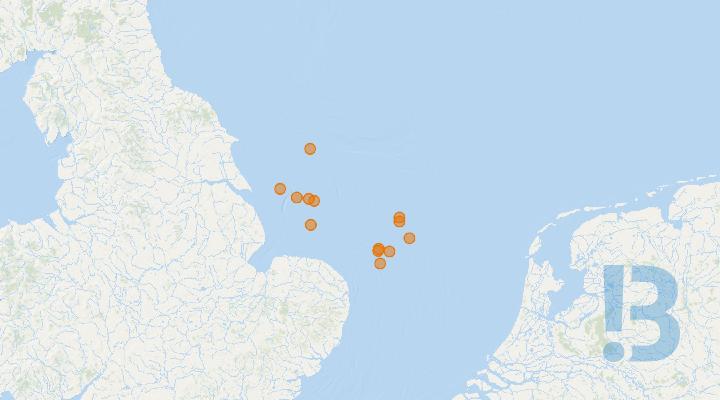
Remedial Works and Debris Clearance Campaign
Please be advised that decommissioning activity will be taking place at multiple Perenco locations in Southern North Sea using the Wageborg Kingsborg MSV.
Perenco are completing a remedial & debris clearance campaign> Some locations will be post decommissioning activities and others pre decommissioning activities.
|
Gawain E&A Well |
Rock Placement |
|
|
Arthur Manifold & Wells |
Post Decom Remedial & Clearance |
|
|
Amethyst B1D & C1D |
Post Decom Remedial & Clearance |
|
|
Pickerill A & B |
Post Decom Remedial & Clearance |
|
|
Leman E&A Well |
Pick up of Conductor String |
|
|
Leman Southwest |
Post Decom Remedial & Clearance |
|
|
Durango |
Post Decom Remedial & Clearance |
|
|
Leman 27J |
Post Decom Remedial & Clearance |
|
|
Ravenspurn North Central Complex |
Pre Decom Debris Clearance |
|
|
Inde 18A |
Pre Decom Debris Clearance |
|
|
Inde 23A |
Pre Decom Debris Clearance |
|
|
Leman 27A |
Pre Decom Debris Clearance |
|
See detailed map on our bulletin website

Liverpool Bay - IRM Survey
Various surveys through out LBA field, pipelines, platforms/Subsea wells using Fugro Orca (Blue Essence)
Show More
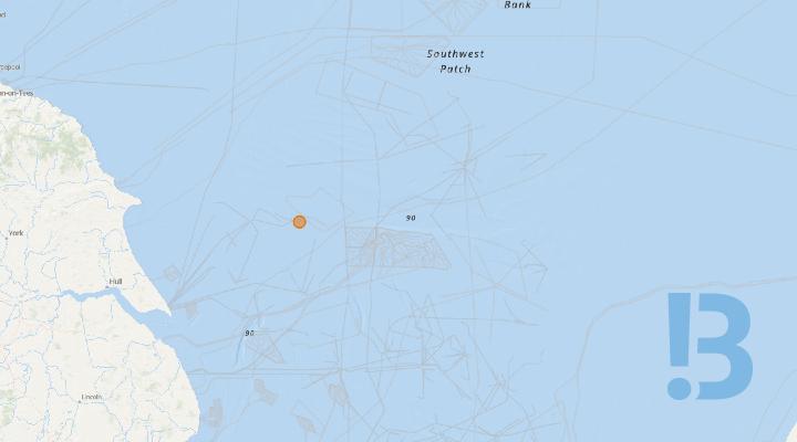
Ravenspurn North Central Complex Skidding Removal of Gas Compression Deck
Please be advised that decommissioning activity will be taking place at Ravenspurn North Central Complex
The OBANA will be deployed to comence the skidding campaign to remove the gas compression deck topside from the Ravenspurn North Central Complex.
See detailed map on our bulletin website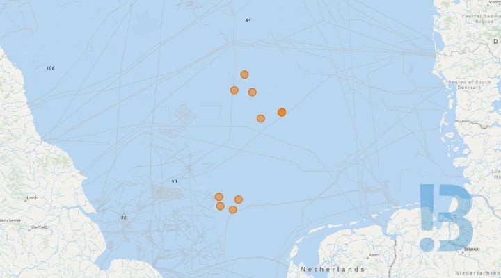
Southern North Sea - Uncrewed Surface Vessels (USV) Survey Operations
Operation of remotely piloted Uncrewed Surface Vessels (USVs) are planned in the Southern North Sea (incl. Dutch EEZ sector), in November/December 2026. The vessels will be engaged in survey activities across two clusters of redundant wellheads, on behalf of Total Energies. In addition to the survey areas, the USV’s will transit from/to Scarborough & Lowestoft, UK.
Activity:Operation of remotely piloted Uncrewed Surface Vessels (USVs) are planned in the Southern North Sea (incl. Dutch EEZ sector), in November/December 2026. The vessels will be engaged in survey activities across two clusters of redundant wellheads, on behalf of Total Energies. In addition to the survey areas, the USV’s will transit from/to Scarborough & Lowestoft, UK.
Dates & Duration:Survey operations are expected to commence from 2nd November 2026 for approximately 8 weeks, subject to weather and other operational factors.
Location:The survey area will be wo clusters of redundant wellheads in the Southern North Sea (see plot). In addition to the survey areas, the USV’s will transit from/to Scarborough & Lowestoft, UK.
Mode of Operation:
Although the USV are uncrewed, they are managed throughout the 24 hour operation, piloted remotely using 360 degree cameras and other navigational aids. The USV sends real time images and situational awareness data over satellite to a team of operators keeping watch and controlling the vessel remotely 24/7. A support vessel will escort the USV from the active ports to clear water. Seafarers are asked to avoid contact with the vessel and be aware of the operational area during this period.
Safety Precautions: The USV is equipped with the following to make it conspicuous to other marine traffic:
- AIS
- Navigation Lights & Sound Signal
- Active Radar Reflector
- Superstructure Painted Yellow
- VHF

Calder Filed - Geophysical Survey
The Fugro Searcher will be mobilising on the 7th November to the Calder field to complete a geophysical survey.
The Fugro Searcher will be mobilising on the 7th November to the Calder field to complete a geophysical survey.
See detailed map on our bulletin website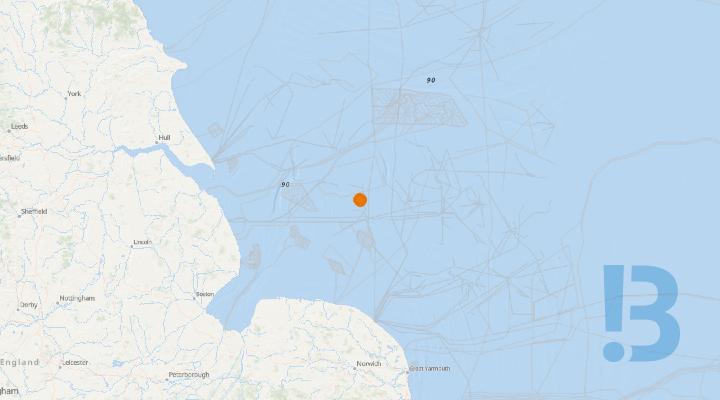
Rig Move and COMOPS Activity Notification - HAEVA JUB - Excalibur Installation
This campaign will be supported by the HAEVA MODU, which is expected to be on location for approximately 80 days. The HAEVA is due to arrive on the 29th October 2026. Perenco is planning to undertake Plug & Abandonment (P&A) operations (phase one) and a Velocity Strings (VS) campaign (phase two) at the Excalibur Installation.
Following interface, phase one (P&A) will commence rendering wells 48/17a-E4 and 48/17a-E5 to P&A Phase 2 (AB2). This campaign will be immediately followed by phase two (VS) and will include wells 48/17a-E1Z, 48/17a-E3 and 48/17a-E6. Once all wells at Excalibur have reached Cessation of Production (COP), all Excalibur wells will then be plugged and abandoned to Phase 3 (AB3), however, this is not expected for a number of years.
• Starboard Bow: E 389 503, N 5 925 417• Starboard Aft: E 390 066, N 5 925 893• Port Aft: E 390 586, N 5 925 382• Port Bow: E 390 120, N 5 924 811
Location Coordinates (WGS 1984):
Excalibur: Latitude (WGS84): 53° 27' 54.324" N, Longitude (WGS84): 001° 20' 40.658" E
HAEVA Working Position: 53° 27' 53.980" N, 001° 20' 40.117" E
See detailed map on our bulletin website
Planned Rig Move - Dolphin PBLJ
This is to advise of upcoming planned rig move for the Dolphin PBLJ. The rig will move from the Balmoral well 16/21b-14 to 16/21a-03z also located in the Balmoral field to complete P&A operations. Scope: Single well P&A campaign Estimated Duration: 50 days
Show More

NEP Pre-Lay Offshore Dredging Activities - Extension Update
Mariners are advised that the Northern Endurance Partnership (NEP) continue to undertake sand dredging activities within blocks 4&5 of the NEP pipeline construction area as part of the pre-lay pipeline construction activities.
The operations are being conducted within fishing Blocks 4 and the extended Block 5 area. These locations are shown below in Figure 1 and Table 1.
The Hermod R was expected to complete sand wave clearance activities in October, however the works have been delayed, are now anticipated to be completed ~30th November 2026.
For further information, contact details for the Fishing Industry Representative and the Company Fisheries Liaison Officer are provided in Section 7.
Mariners are advised to always maintain a safe distance (of at least 500m) from the Hermod R.
See detailed map on our bulletin website
Leman 27J - Decommissioning
The OBANA Heavy Lift Vessel will undertake jacket removal activities at Leman 27J.
Show More
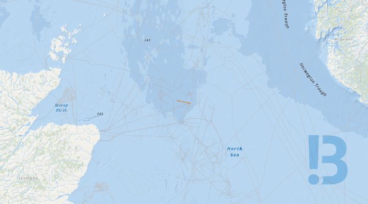
Alder Field Decommissioning Preparation
Ithaca Energy are undertaking a preparatory programme of cleaning and flushing of the Alder production pipeline and umbilical and disconnections. Activities are permitted under MAT PLA/1221 (CP/4042, ML/1557, OTP/1878).
Show More
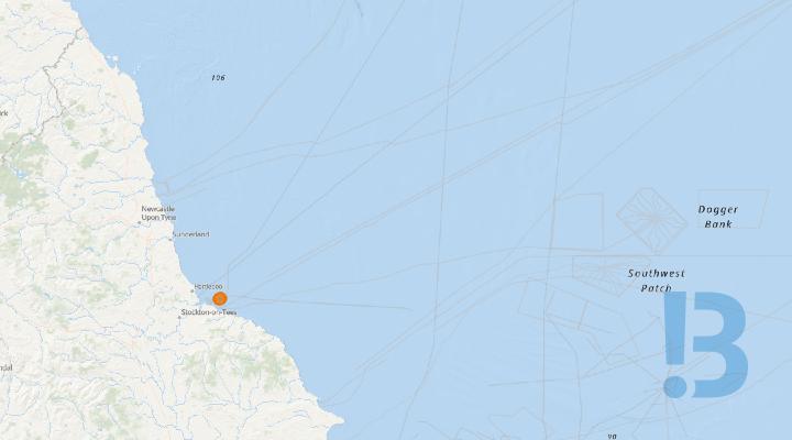
NEP Unburied Pipeline Section Pipeline Construction Area Block 1
Mariners are advised that as part of the Northern Endurance Partnership pipelay activities a section of pipeline has been left unburied.
The unburied 28" diameter concrete weight coated pipeline section will remain in this condition from the date of issue of this notice until July 2027 when the pipeline termination will be recovered to complete the shallow water lay activities.
The unburied length of pipeline is approximately 675 m long with an end termination point at KP 7.071 where an abandonment and recovery (A&R) head in 27 m water depth is located for eventual recovery of the pipeline and recommencement of pipelay operations. The A&R head is fitted with various protuberances such as padeyes.
The pipeline has been buried below the seabed from KP 7.746 onwards.
Mariners are requested to avoid anchoring or engaging in fishing activity in proximity to the unburied length of pipeline and to be aware of potential snagging risks in the vicinity of the end termination point at KP 7.071.
An ROV captured image of the pipeline termination point is provided within the attached notice.
For further information, please contact the Fishing Industry Representative and the Company Fisheries Liaison Officer.
See detailed map on our bulletin website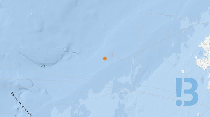
Foinaven Riser and Umbilical recovery
Activities associated with the Foinaven riser and umbilical recovery campaign.
Show More

Western Isles development suspended wells
Presence of seven suspended development wells across the Western Isles North and South drill centres.
As part of the Western Isles Development decommissioning process, the seven development wells have been suspended. The wells are located at the North (4 wells) and South (3 wells) drill centres. The drill centres are currently protected by 500 m exclusion zones. The well fishing protection structures remain in place.
See detailed map on our bulletin website
Bruce MOL, Keith Bundle and WAD Umbilical ROV survey
To undertake a ROV survey campaign including 127.5 km of the Bruce to Unity Main Oil Export Line pipeline, the full 6.8 km Keith Bundle and the full 6.4km Western Area Development Umbilical. The surveys will be undertaken using the ROV survey vessel EDT Jane. The vessel will carry out a variety of inspection techniques, including General and Detailed Visual Inspection, Cathodic Protection Measurement, and Multibeam Echosounder, and as such, notification is required.
Show More
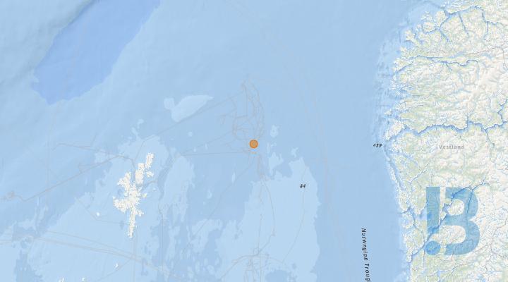
Orlando Well ROV Survey
To undertake a ROV area survey of the Orlando Wellhead / Tree P1 (30m radius). The survey will be undertaken using the ROV survey vessel EDT Jane. The vessel will carry out a variety of inspection techniques, including General and Detailed Visual Inspection, Cathodic Protection Measurement, and Sonar Seabed Survey,
Show More
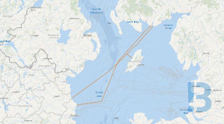
Irish Sea Gas Interconnector - Offshore Surveys
Mariners are advised that offshore survey work is due to be carried out along the high pressure gas interconnector pipelines running between Scotland, Ireland and the Isle of Man during the period from September to December 2026.
Two offshore surveys of the Gas Networks Ireland pipelines that run between Scotland, Ireland and the Isle of Man are due to be conducted between September and December 2026. They are summarised below.
N-Sea Pathfinder: Side Scan Survey, September-October 2026
The offshore survey vessel N-Sea Pathfinder is due to conduct a Side Scan Sonar (SSS) using a Remotely Operated Towed Vehicle (ROTV) survey of the high pressure gas interconnector pipelines running between Scotland, Ireland and the Isle of Man in waters deeper than 10m below LAT.
The work will commence earliest on the 29th of September 2026 and is scheduled to last until the 15th of October 2026 subject to weather and additional scopes.
The proposed schedule of survey work is as follows:-
- Isle of Man Connector and Pipeline Spur: 29th-30th September 2026
- IC2 Pipeline: 20th September - 2nd October 2026
- IC1 Pipeline: 3rd October - 6th October 2026
Again, these dates are subject to weather and sea conditions.
N-Sea Aquarius G: Diving and ROV Operations, October - December 2026
The vessel Aquarius G will be conducting Diving Operations at the Isle of Man “Tee” connector which connects pipeline IC2 to the Isle of Man Spur. Upon completion of these operations the Aquarius G will then carry out ROV survey operations along pipelines IC1 and IC2 and the Isle of Man Spur. It will then undertake any necessary maintenance interventions to ensure the safety of the pipelines. These interventions will be carried out to remove any debris found across the pipelines during the ROV survey as well as installation of pipeline supports (rock bags) where pipeline free spans are identified.
The proposed schedule of survey work is as follows:-
- Isle of Man "Tee" Diving Operations: 13th October - 15th November 2026
- IC1 Pipeline ROV Survey: 7th-12th November 2026
- IC2 Pipeline ROV Survey: 19th-23rd November 2026
- Interventions (as necessary): 30th November-5th December 2026
These dates are subject to weather and sea conditions and additional scopes. All works are expected to be completed by the 15th of December at the latest.
Survey Vessels
N-SEA Pathfinder is an Offshore Support Vessel measuring 61.87m in length and 12.8m beam with a blue and red hull and white superstructure.
N-Sea Aquarius G is an Offshore Support Vessel measuring 68m in length and 14.95m beam with a blue hull and white superstructure.
The survey vessels shall be inspecting the pipeline along the route on a 24-hour basis. During the investigations/surveys the vessel will be displaying the relevant IRPCS day shapes and night lights and will be monitoring VHF Channels 16 and 12.
Due to towed gear with a large layback (200-500m) being operated from the vessels we kindly ask that all vessels in the local vicinity observe a 1000m stand-off at all times.
Please note that further notices to mariners will be issued over the coming weeks relating to survey work in waters shallower than 10m below CD at the Irish, Scottish and Manx landfalls during October.
Additional Information
The two Irish Sea Gas Interconnectors ("IC1" and "IC2")are operated by Gas Networks Ireland ("GNI"). The two Irish Sea Interconnectors and the Isle of Man Spur were installed between 1992 and 2003.
GNI have produced a High Pressure Subsea Gas Pipeline Awareness leaflet. This leaflet shows the route of the pipelines, describes their structure and presents advice on hazards associated with them. It is attached to this bulletin.
See detailed map on our bulletin website
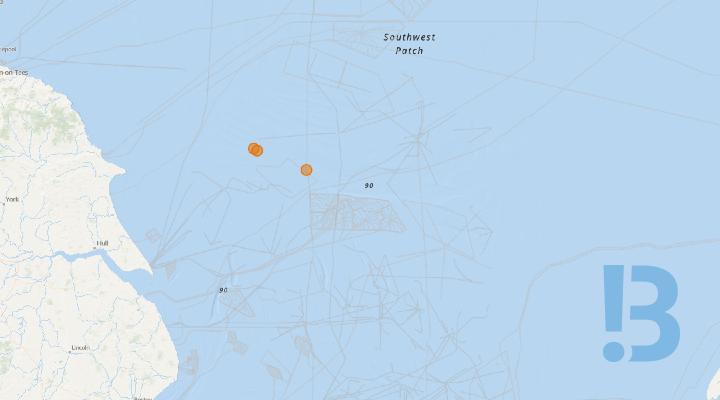
NEP - Seabed Lander Deployment As-Laid Positions
Mariners are advised that the Northern Endurance Partnership (NEP) have completed the deployment of the 6 Permanent CO2 Monitoring Seabed Landers which will monitor areas around the legacy wells and the Bunter Outcrop.
The deployment was undertaken by the Forth Constructor, which has de-mobilised.
Two separate monitoring devices are deployed within 3 locations within the NEP & Bunter development areas; as-laid positions of the Landers are shown in Figure 1 with positions given in Tables 2-4 within the attached notice.
The two separate Lander devices are designed to minimise snagging risk but are not over trawlable and not designed to NORSOK U001. Information on the lander devices can found below in Table 1.
Table 1: Seabed Lander Information
|
Seabed Lander Tiamat |
|
|
Height |
36cm |
|
Length |
160cm |
|
Width |
160cm |
|
Weight in Water |
42kg |
|
Seabed Lander Sensor |
|
|
Height |
252cm |
|
Length |
280cm |
|
Width |
280cm |
|
Weight in Water |
1,200kg |
The Seabed Landers will be deployed for up to 5 years depending on operational requirements and will be serviced annually during operation.
Mariners are requested to maintain a safe distance of at least 500 m from the Seabed Landers at all times.
For further information, please contact the Fishing Industry Representative and Company Fisheries Liaison Officer.
See detailed map on our bulletin website
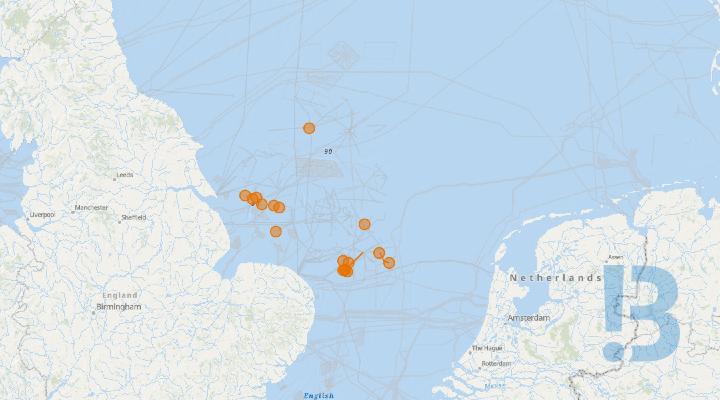
Southern North Sea - Survey Campaign
Perenco UK plans to undertake geophysical and environmental survey in the Southern North Sea. The anticipated earliest start date for the proposed survey operations is 1st October 2026 through to 31st December 2026. The decommissioning survey activities will take approximately 26 days during this period and will be completed in between the vessel’s other activities.
Show More
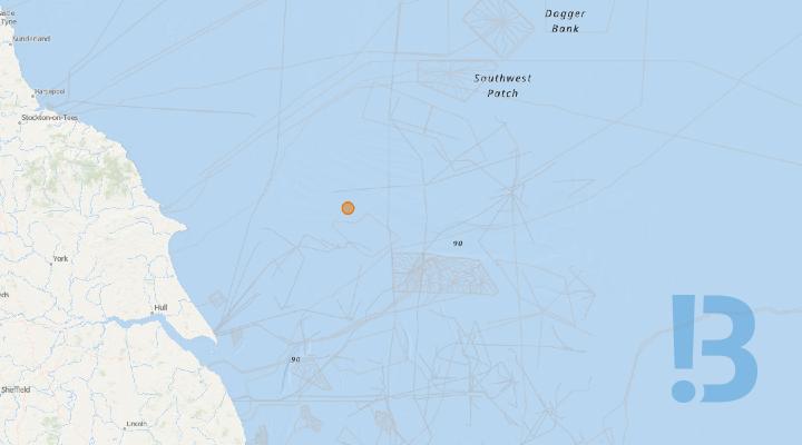
Central North Sea - Noble Intrepid at EM01
Please be advised that the Jack-up rig 'Noble Intrepid' is at this location, and will remain in this position for up to 90 days.
Show More

Captain Field - Subsea excavation work
Excavation work, in accordance with ML/1517/2, to undertake controlled subsea dredging/excavation around the existing WPPA tie-in infrastructure.
Dredgers will be used to undertake controlled localised excavation of seabed sediment/drill cuttings around the exiting Captain field tie-in infrastructure.
See detailed map on our bulletin website
Penguins Area - Metocean Buoy Installed
A yellow spherical anchored wave buoy
Clump weight: 500 kg steel ballast with chain
Deployment date: 18/08/2026
Radius cone: ~300m
Model: Datawell DWR Mk4 buoy
Diameter: 0.9 m
Colour: yellow
LED light: 5 flashes in 10 s 20 s repetition 360° around for 4 Nm distance
See detailed map on our bulletin website
Metocean Buoy Installed - Pierce Area #1
A yellow spherical anchored wave buoy
Clump weight: 500 kg steel ballast with chain
Deployment date: 26/08/2025
Radius cone: ~120m
Model: Datawell DWR Mk3 buoy
Diameter: 0.9 m
Colour: yellow
LED light: 5 flashes in 10 s 20 s repetition 360° around for 4 Nm distance
See detailed map on our bulletin website

Liverpool Bay CCS Mattress Installation Positions
Cable lay activities within the Liverpool Bay CCS Cable Construction Corridor have been delayed. As-laid mattress positions are provided until further notice.
Show More

Rig Move - Shelf Drilling Fortress
This oil & gas drilling rig has moved to this new position. Rig are protected by a 500m safety zone and some may have anchors extending beyond this zone.
Show More
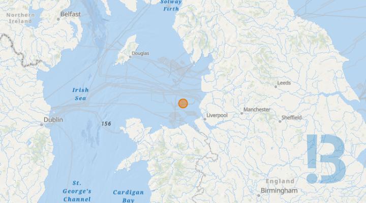
Rig - Valaris 120
Oil & gas rigs are protected by a 500m safety zone and some may have anchors extending hundreds of metres outside this zone.
Show More
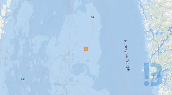
Rig - Scarabeo 8
This oil & gas drilling rig has moved to this new position. Rig are protected by a 500m safety zone and some may have anchors extending beyond this zone.
Show More
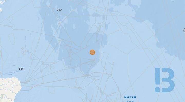
Rig - Paul B Loyd Junior
This oil & gas drilling rig has moved to this new position. Rig are protected by a 500m safety zone and some may have anchors extending beyond this zone.
Show More

Rig - Valaris 72
This oil & gas drilling rig has moved to this new position. Rig are protected by a 500m safety zone and some may have anchors extending beyond this zone.
Show More

Rig - Deepsea Bergen
This oil & gas drilling rig has moved to this new position. Rig are protected by a 500m safety zone and some may have anchors extending beyond this zone.
Show More

Rig - Noble Integrator
This oil & gas drilling rig has moved to this new position. Rig are protected by a 500m safety zone and some may have anchors extending beyond this zone.
Show More
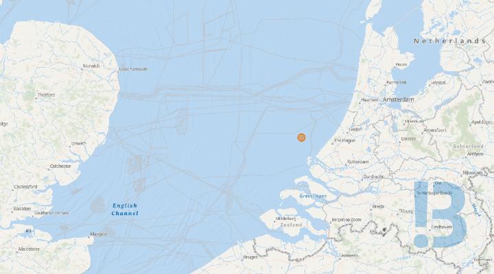
Rig - Seafox 4
This oil & gas drilling rig has moved to this new position. Rig are protected by a 500m safety zone and some may have anchors extending beyond this zone.
Show More


Freespan - PL370 Abandoned Thames Pipeline
Free Span identified on the Abandoned Thames Pipeline PL 370 - 27.02m long x 0.83m High
Show More
Freespan - PL370 Abandoned Thames Pipeline
Free Span identified on the Abandoned Thames Pipeline PL 370 - 41.42m long x 0.83m High
Show More

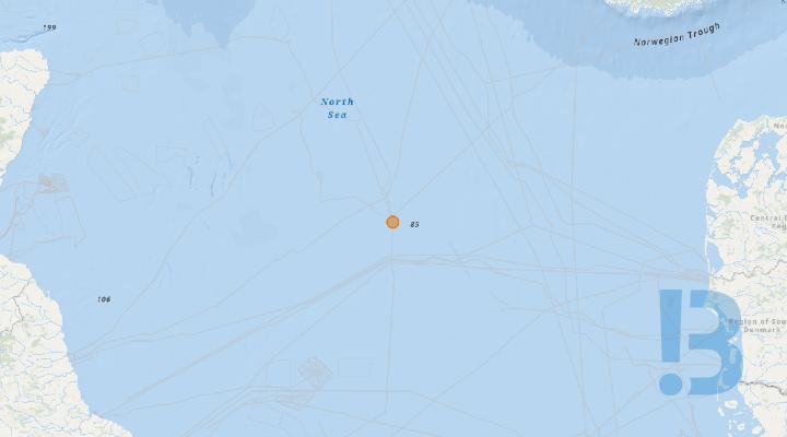
Rig - Noble Interceptor
This oil & gas drilling rig has moved to this new position. Rig are protected by a 500m safety zone and some may have anchors extending beyond this zone.
Show More

Rig Move - Well-Safe Defender
This oil & gas drilling rig has moved to this new position. Rig are protected by a 500m safety zone and some may have anchors extending beyond this zone.
Show More
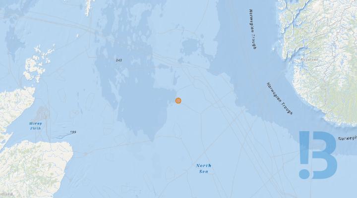
Rig - West Elara
This oil & gas drilling rig has moved to this new position. Rigs are protected by a 500m safety zone and some may have anchors extending beyond this zone.
Show More

Rig - Noble Invincible
This oil & gas drilling rig has moved to this new position. Rig are protected by a 500m safety zone and some may have anchors extending beyond this zone.
Show More

Rig - Askeladden
This oil & gas drilling rig has moved to this new position. Rig are protected by a 500m safety zone and some may have anchors extending beyond this zone.
Show More

Rig - COSL Innovator
This oil & gas drilling rig has moved to this new position. Rig are protected by a 500m safety zone and some may have anchors extending beyond this zone.
Show More
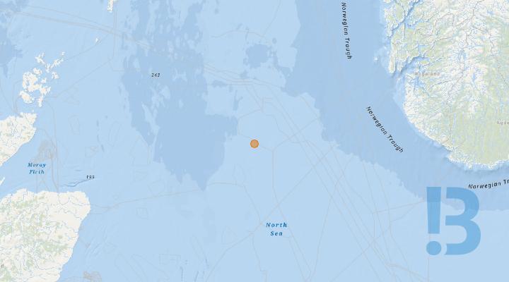
Rig - COSL Promoter
This oil & gas drilling rig has moved to this new position. Rig are protected by a 500m safety zone and some may have anchors extending beyond this zone.
Show More

Rig - Swift 10
This oil & gas drilling rig has moved to this new position. Rig are protected by a 500m safety zone and some may have anchors extending beyond this zone.
Show More

Rig - Deepsea Atlantic
This oil & gas drilling rig has moved to this new position. Rig are protected by a 500m safety zone and some may have anchors extending beyond this zone.
Show More
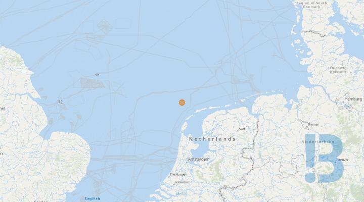
Rig - Triton 10 (ex Noble Reacher)
This oil & gas drilling rig has moved to this new position. Rig are protected by a 500m safety zone and some may have anchors extending beyond this zone.
Show More

DSV Atlantis - Douglas, Hamilton North and Hamilton Main Platforms
Diving operations at all 3 platforms as part of decommissioning
SAT DIVING OPERATIONS
See detailed map on our bulletin website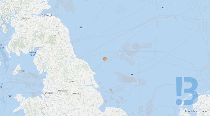
Breagh Alpha - Valaris 122 on location
Works are planned to be carried out with the Valaris 122 MODU at the Breagh Alpha NPAI from the 10th September and are expected to continue to approximately 28th February 2027. The Valaris 122 will remain positioned stationary in proximity to the Breagh Alpha platform. All activities are expected to take place within the 500m safety exclusion zone, so no hinderance or increased risk to navigation and/or marine traffic is foreseen.
Valaris 122 bridge linked operations between 10th September and approx. 28th February.
Standby vessel in place and maintaining 24 hour watch.
MODU located within Breagh A 500m safety exclusion zone.
NAVAIDs will be provided by Valaris 122 during this campaign as per Standard Marking Schedule (CL/1637).
See detailed map on our bulletin website
Planned Rig Move - Dolphin PBLJ
This is to advise of upcoming planned rig move for the Dolphin PBLJ. The rig will move from the Balmoral field - well 16/21a-03z to the Varadero field - well 28/09a-V5. • Scope: slot recovery & drilling operations. • Estimated Duration: 100 days
Show More

Stena Don Anchors in Penguin Field in Northern North Sea
Stena Don is operational at the PAC wellsite location.
Show More

PL24 Cut-point Freespan
The cut-point of PL24 has become exposed and is protruding significantly from the seabed; approximately 17m long and 6m high. This creates an increased risk of snagging of trawling equipment, or similar, compared to a regular freespan.
The cut-point of PL24 has become exposed and is protruding significantly from the seabed; approximately 6m from the seabed at its highest point and overhanging approximately 17m long from where the line makes contact with the seabed again. This creates an increased risk of snagging of trawling equipment, or similar, compared to a regular freespan.
See detailed map on our bulletin website
NEP Post-Lay Pipeline Rock Installation
Mariners are advised that the Northern Endurance Partnership (NEP) will be undertaking post-pipelay rock installation activities in support of the NEP offshore pipeline construction programme.
The works will be undertaken by the Simon Stevin and are anticipated to commence on or around 13th August 2026, continuing intermittently until approximately 30 November 2026, subject to weather, operational requirements and programme changes.
The works will involve the controlled placement of rock and gravel in areas where sufficient burial of the pipeline cannot be achieved and will take place within the NEP Pipeline Construction Area
See detailed map on our bulletin website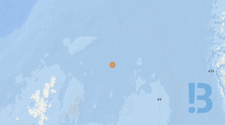
Rig - Noble Patriot
This oil & gas drilling rig has moved to this new position. Rig are protected by a 500m safety zone and some may have anchors extending beyond this zone.
Show More
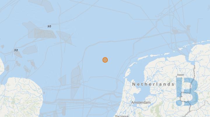
Rig - Noble Resolute
Oil & gas rigs are protected by a 500m safety zone and some may have anchors extending hundreds of metres outside this zone.
Show More
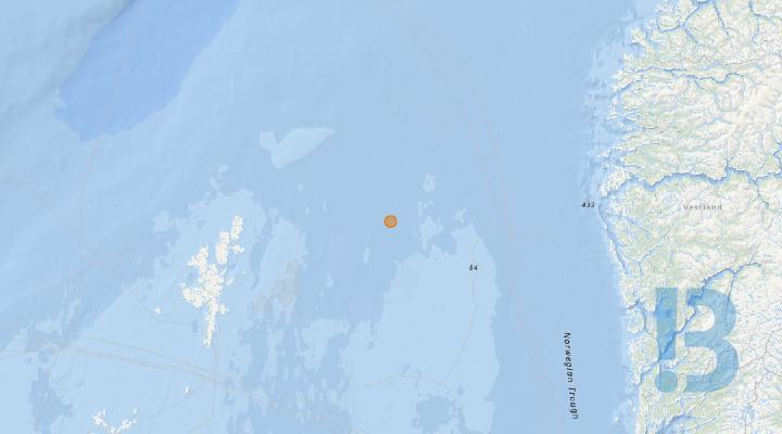
Ninian Southern Platform - Down Person Completed
Ninian Southern Platform has now successfully down manned and has entered the idle phase.
Ninian Southern Platform has now successfully down manned and has entered the idle phase.
The idle plase Navaid system is operating satisfactorily.
Topsides removal is due to commence in Q2 2027, and the installation will remain in the idle phase until that time.
See detailed map on our bulletin website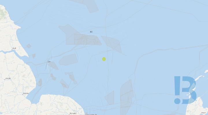
New Safety Zone: Wenlock, Wenlock Field, Block 49/12a
A new safety zone has been granted by the Secretary of State for the above location/structure. The Offshore Installations (Safety Zones) Order 2026 – 2026 No. 635 was signed off by the Minister on 15th June 2026 and comes into force on 6th July 2026
Kingfisher note:
This safety zone may be new, or an amendment to an existing zone. It may also replace a safety zone in place around a platform, or other surface structure for the purposes of decommissioning.
Your FishSAFE Information will be updated in the next release.
See detailed map on our bulletin website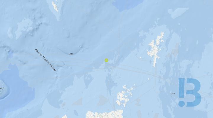
New Safety Zone: Solan, Solan Field, Block 205/26a
A new safety zone has been granted by the Secretary of State for the above location/structure. The Offshore Installations (Safety Zones) Order 2026 – 2026 No. 635 was signed off by the Minister on 15th June 2026 and comes into force on 6th July 2026
Kingfisher note:
This safety zone may be new, or an amendment to an existing zone. It may also replace a safety zone in place around a platform, or other surface structure for the purposes of decommissioning.
Your FishSAFE Information will be updated in the next release.
See detailed map on our bulletin website
New Safety Zone: Global Producer III, Donan, Balloch & Lochranza Field, Block 015/20a and 015/20b
A new safety zone has been granted by the Secretary of State for the above location/structure. The Offshore Installations (Safety Zones) Order 2026 – 2026 No. 635 was signed off by the Minister on 15th June 2026 and comes into force on 6th July 2026
Kingfisher note:
This safety zone may be new, or an amendment to an existing zone. It may also replace a safety zone in place around a platform, or other surface structure for the purposes of decommissioning.
Your FishSAFE Information will be updated in the next release.
See detailed map on our bulletin website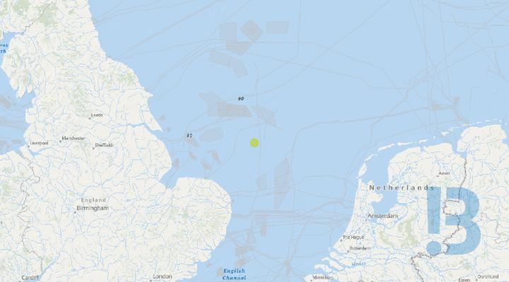
Revoked Safety Zone: Victoria Production Well (49/17-14), Block 49/17, Victoria Field 2007/3559
A safety zone for the above location/structure has been revoked (will no longer be enforced) by the Secretary of State. The Offshore Installations (Safety Zones) Order 2026 – 2026 No. 635 was signed off by the Minister on 15th June 2026 and comes into force on 6th July 2026.
Kingfisher note:
This safety zone may have been replaced by a new zone, or other zones may exist in the vicinity.
Your FishSAFE Information will be updated in the next release.
4.—(1) The Offshore Installations (Safety Zones) (No. 7) Order 2007(a) is amended as follows. (2) In the Schedule (safety zones), omit the entry relating to
“Victoria Subsea Production Well (49/17-14), Block 49/17, Victoria Field”. (53 27.694'N 002 16.986'E)
See detailed map on our bulletin website
Revoked Safety Zone: Thames Yare Wellhead 1997/735
A safety zone for the above location/structure has been revoked (will no longer be enforced) by the Secretary of State. The Offshore Installations (Safety Zones) Order 2026 – 2026 No. 635 was signed off by the Minister on 15th June 2026 and comes into force on 6th July 2026.
Kingfisher note:
This safety zone may have been replaced by a new zone, or other zones may exist in the vicinity.
Your FishSAFE Information will be updated in the next release.
3.—(1) The Offshore Installations (Safety Zones) Order 1997(d) is amended as follows. (2) In Schedule 1 (safety zones), omit the entry relating to
“Thames Yare Wellhead". (53 02.649'N 002 34.371'E)
See detailed map on our bulletin website
Revoked Safety Zone: Thames Bure Wellhead 1997/735
A safety zone for the above location/structure has been revoked (will no longer be enforced) by the Secretary of State. The Offshore Installations (Safety Zones) Order 2026 – 2026 No. 635 was signed off by the Minister on 15th June 2026 and comes into force on 6th July 2026.
Kingfisher note:
This safety zone may have been replaced by a new zone, or other zones may exist in the vicinity.
Your FishSAFE Information will be updated in the next release.
3.—(1) The Offshore Installations (Safety Zones) Order 1997(d) is amended as follows. (2) In Schedule 1 (safety zones), omit the entry relating to
“Thames Bure Wellhead". (53 07.378'N 002 25.455'E)

Rosebank Field Drilling Operations
The Deepsea Atlantic mobile drilling rig will be conducting operations in the Rosebank field.
Drilling operations will be conducted over various subsea templates in the Rosebank field
The rig will be operating on DP, there will be no moorings.
Deepsea Atlantic call sign - 2CEV5.
See detailed map on our bulletin website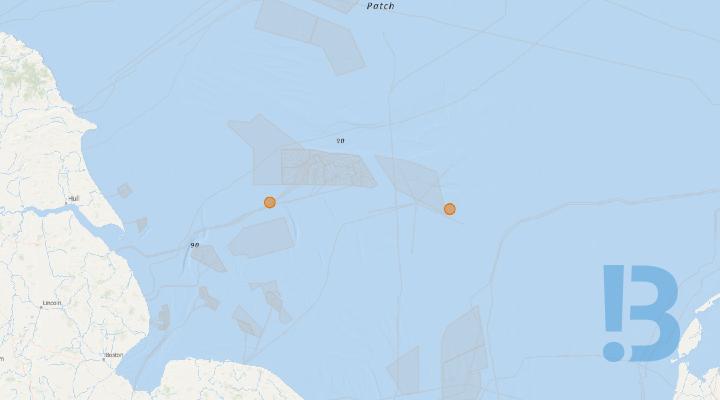
Subsea infrastructure - Seven Seas and Grove G5
Following well P&A activity, the wellhead at Seven Seas remains in-situ and will be removed at a later date. The 500 m safety zone remains in place. Following well P&A activity at Grove G5, the wellhead protection structure and wellhead remain in situ and will be removed at a later date. The 500 m safety zone remains in place.
Following well P&A activity, the wellhead at Seven Seas remains in-situ and will be removed at a later date. The 500 m safety zone remains in place.
Following well P&A activity at Grove G5, the wellhead protection structure and wellhead remain in situ and will be removed at a later date. The 500 m safety zone remains in place.
See detailed map on our bulletin website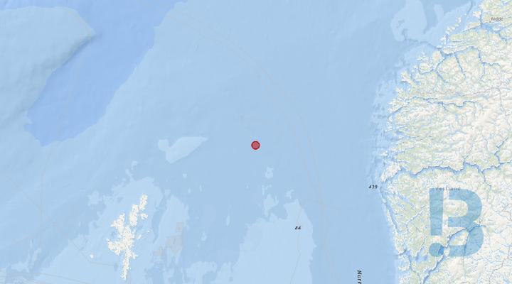
Seabed Object - Potential Snagging Hazard - Murchison field
4m x 4m x 4m object identified during 2026 sonar survey of decommissioned Murchison field
Show More
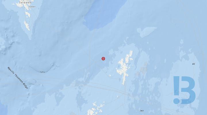
Rosebank scope activities in BP WOSPS area
Pre-commissioning activities – Gas Export Pipeline dewatering pig train installation @ BP WOSPS location Pre-commissioning activities – Valve operations @ BP WOSPS location
Install subsea PLR (Pig Launcher)
Connect downline from vessel into gas export PLEM
Gas Export Pipeline dewatering pig train installation
Deep Explorer
See detailed map on our bulletin website
Rosebank scope activities
Rosebank SURF pre-commissioning activities
Pipeline / flowline dewatering activities
ROV survey support including “as installed” survey
Flowline tie-ins
WRB recovery
Deep Explorer
See detailed map on our bulletin website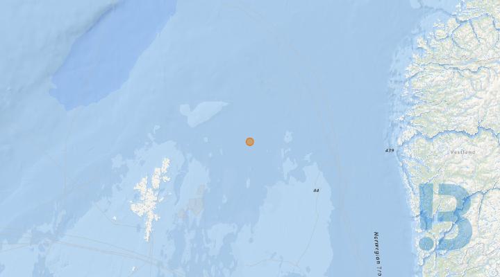
Plug & Abandonment Operations at Pelican - Noble Patriot
Plug & Abandonment operations at Pelican - to be completed by the Noble Patriot, as detailed within WIA/1887 CL/1619. 8 x anchors within radius of 61 2 2.70 North 01 7 45.67 East. Rig expected to arrive on location 10th July 2026.
Plug & Abandonment operations at Pelican - to be completed by the Noble Patriot, as detailed within WIA/1887 CL/1619.8 x anchors within radius of 61 2 2.70 North 01 7 45.67 East. Rig expected to arrive on location 10th July 2026.
Line 1: Easting 561614, Northing 6768675 Line 2: Easting 561993, Northing 6767856 Line 3: Easting 562460, Northing 6766580 Line 4: Easting 561892, Northing 6765627 Line 5: Easting 560483, Northing 6765504 Line 6: Easting 559550, Northing 6766204 Line 7: Easting 559370, Northing 6767947 Line 8: Easting 560099, Northing 6768768
See detailed map on our bulletin website
Rig - Well-Safe Guardian
This oil & gas drilling rig has moved to this new position. Rig are protected by a 500m safety zone and some may have anchors extending beyond this zone.
Show More

FPSO & moorings decommissioning - Western Isles
The Western Isles FPSO and mooring lines have been removed. Mooring piles have been cut and recovered. Mooring pile tail chains remain on the seabed.
The mooring piles have been cut below seabed level and the cut sections recovered.
See detailed map on our bulletin website
Decommissioning - Western Isles infield subsea infrastructure
Infield pipelines and manifolds associated with the Western Isles Development will be decommissioned
Risers, tie-in spools, manifolds and mid-water arches have been recovered from the seabed. The surface laid pipeline bundles that served the North and South drill centres remain in place until a decommissioning option is finalised. Wellheads remain in place protected by existing fishing protection structures.
See detailed map on our bulletin website
Rig - Shelf Drilling Barsk
This oil & gas drilling rig has moved to this new position. Rig are protected by a 500m safety zone and some may have anchors extending beyond this zone.
Show More

Rig - Deepsea Yantai
This oil & gas drilling rig has moved to this new position. Rig are protected by a 500m safety zone and some may have anchors extending beyond this zone.
Show More

Rig - Deepsea Stavanger
This oil & gas drilling rig has moved to this new position. Rig are protected by a 500m safety zone and some may have anchors extending beyond this zone.
Show More

Rig Move - COSL Pioneer
This oil & gas drilling rig has moved to this new position. Rig are protected by a 500m safety zone and some may have anchors extending beyond this zone.
Show More

Rig - Askepott
This oil & gas drilling rig has moved to this new position. Rig are protected by a 500m safety zone and some may have anchors extending beyond this zone.
Show More

Rig - Deepsea Aberdeen
This oil & gas drilling rig has moved to this new position. Rig are protected by a 500m safety zone and some may have anchors extending beyond this zone.
Show More

Rig - Deepsea Nordkapp
This oil & gas drilling rig has moved to this new position. Rig are protected by a 500m safety zone and some may have anchors extending beyond this zone.
Show More
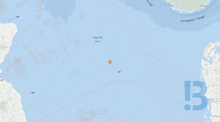
Rig - Linus
This oil & gas drilling rig has moved to this new position. Rig are protected by a 500m safety zone and some may have anchors extending beyond this zone.
Show More

Rig - Shelf Drilling Winner
This oil & gas drilling rig has moved to this new position. Rig are protected by a 500m safety zone and some may have anchors extending beyond this zone.
Show More

Rig - Seafox 7
This oil & gas drilling rig has moved to this new position. Rig are protected by a 500m safety zone and some may have anchors extending beyond this zone.
Show More

Rig - Valaris Stavanger
Oil & gas rigs are protected by a 500m safety zone and some may have anchors extending hundreds of metres outside this zone.
Show More

Rig - Transocean Norge
This oil & gas drilling rig has moved to this new position. Rig are protected by a 500m safety zone and some may have anchors extending beyond this zone.
Show More

Rig - Prospector 1
This oil & gas drilling rig has moved to this new position. Rigs are protected by a 500m safety zone and some may have anchors extending beyond this zone.
Show More
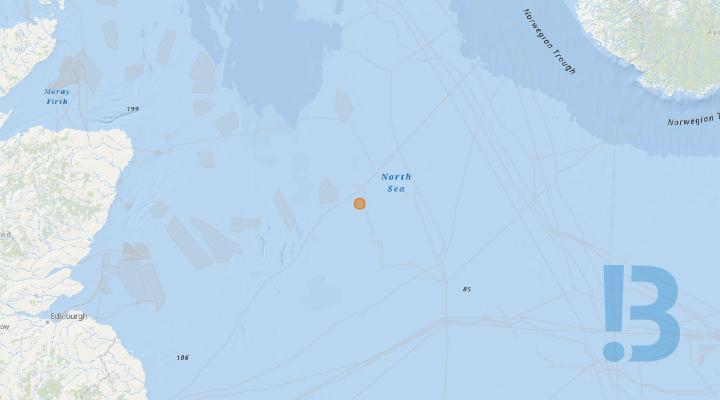
Rigmove - Valaris 121
Oil & gas rigs are protected by a 500m safety zone and some may have anchors extending hundreds of metres outside this zone.
Show More

Rig Move - Maersk Inspirer
This oil & gas drilling rig has moved to this new position. Rig are protected by a 500m safety zone and some may have anchors extending beyond this zone.
Show More

Rig - Ensco 92
This oil & gas drilling rig has moved to this new position. Rig are protected by a 500m safety zone and some may have anchors extending beyond this zone.
Show More
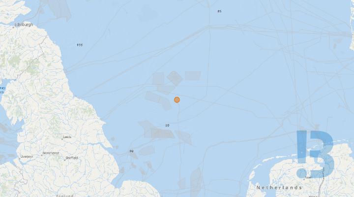
Infill Drilling - Cygnus Alpha
The Valaris Norway is located adjacent to the Cygnus Alpha Wellhead platform and will be operating within the 500m zone. Anchors may extend beyond this point. *Please be advised that there is a slight delay between Cygnus A and Valaris Norway and Navaid lights activation. An approved dispensation is in place under CL/63/8*
Show More

Acoustic Monitor - Culzean Field
In preparation for the installation of a floating Wind Turbine at Culzean - an acoustic device will be deployed near to the proposed wind turbine location at the Culzean field. The acoustic device will be at the location noted below - but will extend to a total height of 25m above the seabed. The device will deployed from 19th April 2026 (depending on weather) and will be in place for approx. six months.
In preparation for the installation of a floating Wind Turbine at Culzean - an acoustic device will be deployed near to the proposed wind turbine location at the Culzean field. The acoustic device will be at the location noted below - but will extend to a total height of 25m above the seabed. The device will deployed from 19th April 2026 (depending on weather) and will be in place for approx. six months.
See detailed map on our bulletin website